|
Title |
¿Qué lugar es? |
|
Unit/Activity No. |
Human Geography Unit 1/Activity 1 |
|
Geographic Topic |
Physical geography, mapping skills |
|
Language Topic |
Geography, places |
|
Language Function |
Express location |
|
Language Standard |
1.1, 3.1 |
|
Geography Standard |
1, 2, 4 |
| Step 1. | Before class prepare a handout and a transparency. |
| Step 2. | Using the list provided, review vocabulary with the class. |
| Step 3. | Place students into groups of two and distribute an activity sheet to each pair. Read over the directions. |
| Step 4. | Place one of the provided maps onto the overhead and allow Estuidante A to guess the different locations that are being described by Estudiante B. |
| Step 5. | Repeat this process reversing the roles of Estudiante A and B. Rotate the visuals to add variety. |
Review or pre-teach geography vocabulary with students using maps of your state.
While Spanish vocabulary words (from the vocabulary list) are being read aloud; have students label blank maps of the state (printed on transparencies) with geographical features. Sentences should be modeled by using está/están plus prepositions.
Activity can be expanded to include use of hay. Provide models, e.g. Hay un río que pasa por la ciudad de Portland.
Change the place names to reflect your region
To make this a listening activity read short descriptions of geographic places while the students guess what place is being described.
Vocabulario útil
|
la geografía |
geography |
|
el arroyo |
stream |
|
la bahía |
bay |
|
el bosque |
forest |
|
el cabo |
point, cape |
|
el campo |
country(side) |
|
el cañón |
canyon |
|
la catarata |
waterfall |
|
la colina |
hill |
|
la cordillera |
mountain range |
|
la costa |
coast |
|
el desierto |
desert |
|
la duna |
dune |
|
el lago |
lake |
|
el mar |
sea |
|
la montaña |
mountain |
|
el monte |
mountain, butte |
|
el océano |
ocean |
|
la playa |
beach |
|
el río |
river |
|
la selva |
jungle |
|
el valle |
valley |
|
la ciudad |
city |
|
Pequeño /a |
small, little |
|
grande (gran + noun) |
big |
|
el lugar |
place |
|
la autopista |
highway |
|
el camino |
road |
|
la carretera |
freeway |
|
la leyenda |
legend/key |
|
el mapa |
map |
|
el sendero |
path |
|
la ubicación |
location |
|
estar |
to be (located) |
|
al sur (de) |
to the south (of) |
|
al norte (de) |
to the north (of) |
|
al este (de) |
to the east (of) |
|
al oeste (de) |
to the west (of) |
|
lejos (de) |
far (from) |
|
cerca (de) |
near (to) |
|
entre |
(in)between |
|
al lado de |
next to |
|
alrededor (de) |
around |
|
fuera (de) |
outside (of) |
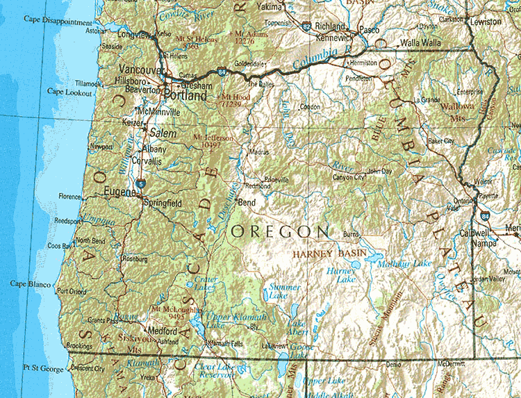
Handout 1
Your partner will describe the location of some cities or geographical features in your state. Try to guess each place.
MODELO
[Corvallis]
Esta ciudad está en el valle del Willamette. El río Willamette pasa por la ciudad. La ciudad está cerca de Albany pero está muy lejos de Ontario. Está al sur de Salem y al norte de Eugene. ¿Qué ciudad es?
|
Estudiante A: 1. el Lago Crater 2. Florence 3. el río Willamette 4. Portland 5. Medford 6. Hermiston 7. el río Snake 8. las montañas Steen
|
Estudiante B: 1. El Monte Hood 2. Woodburn 3. Brookings 4. La cordillera Cascade 5. Springfield 6. El “Cañón del Infierno” (Hell's Canyon) 7. Tillamook 8. Bend
|
Transparency 1
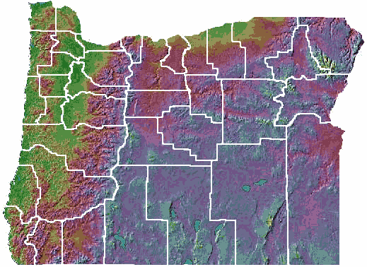
Transparency 2
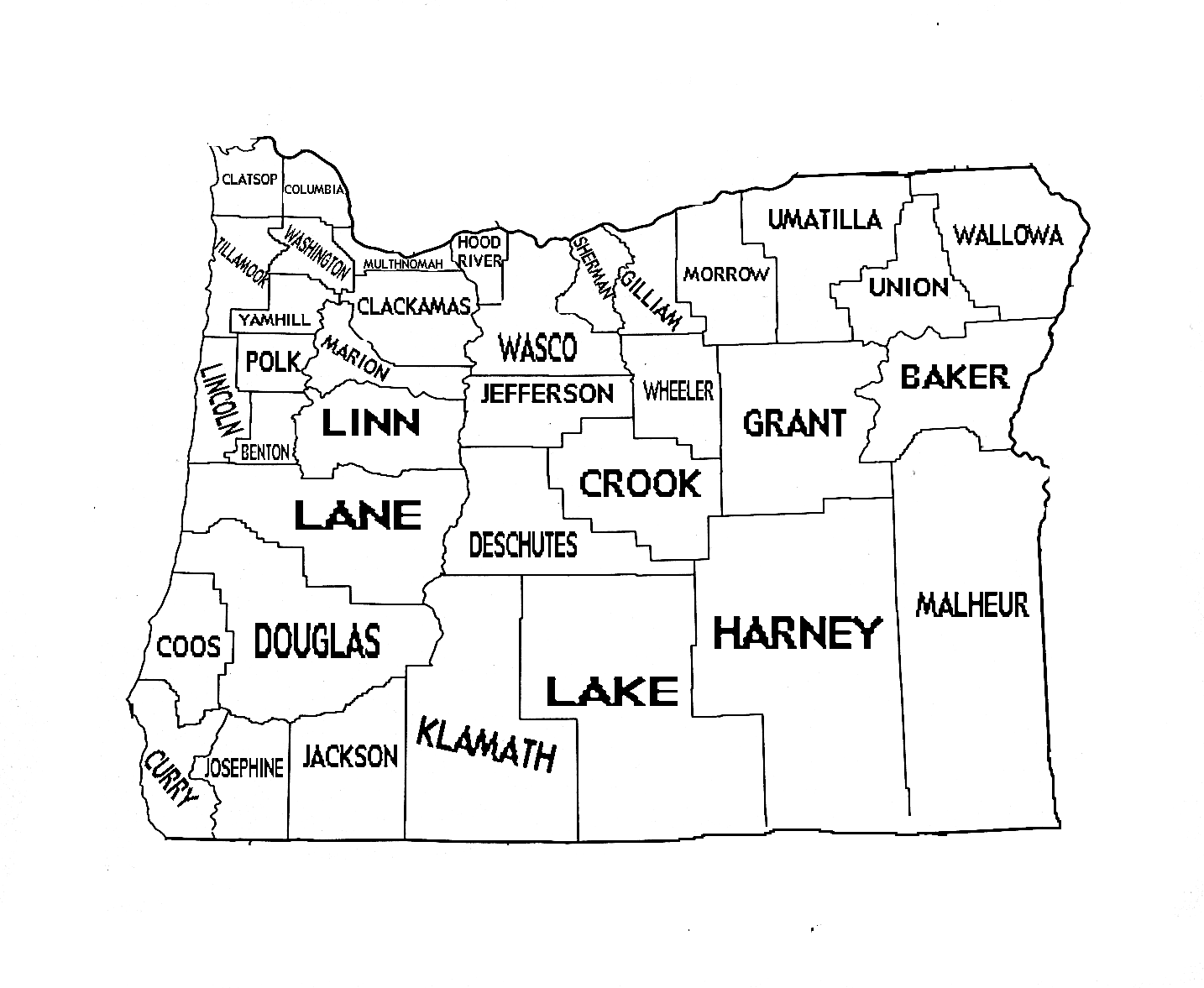
Transparency 3
Have students compose trivia questions based on the content of this activity (e.g. ¿Cómo se llama el río que pasa por Springfield?). Collect the classes questions, correct the language if necessary, then form students into teams. Have an emcee ask the questions and allow one representative of each team to answer. A correct answer gains one point. The team with the most points wins.